Notice: Alberta is hosting the G7 Leaders' Summit in Kananaskis June 15-17

Some areas in Kananaskis are temporarily closed during the G7 Summit and surrounding dates. However, the majority of Kananaskis Country as well as the Town of Canmore are open to visitors. For a map of the closed areas, visit the RCMP website or the Alberta Parks website. Learn more

Loading...

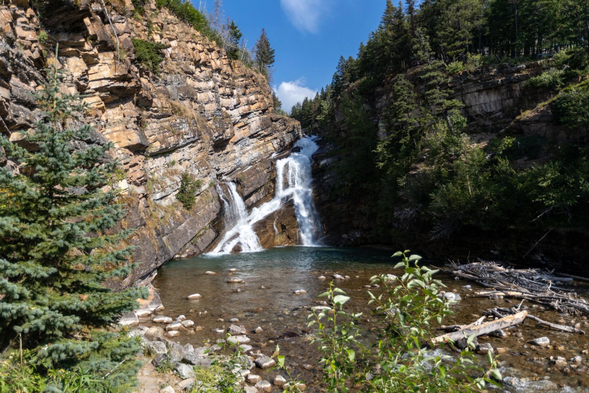
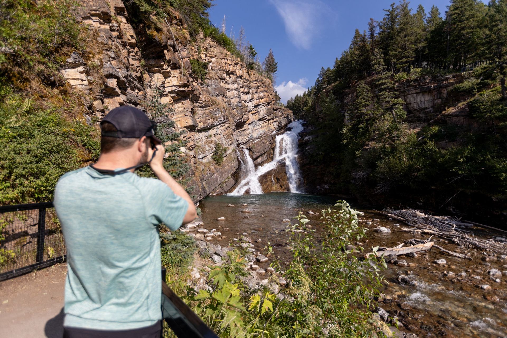
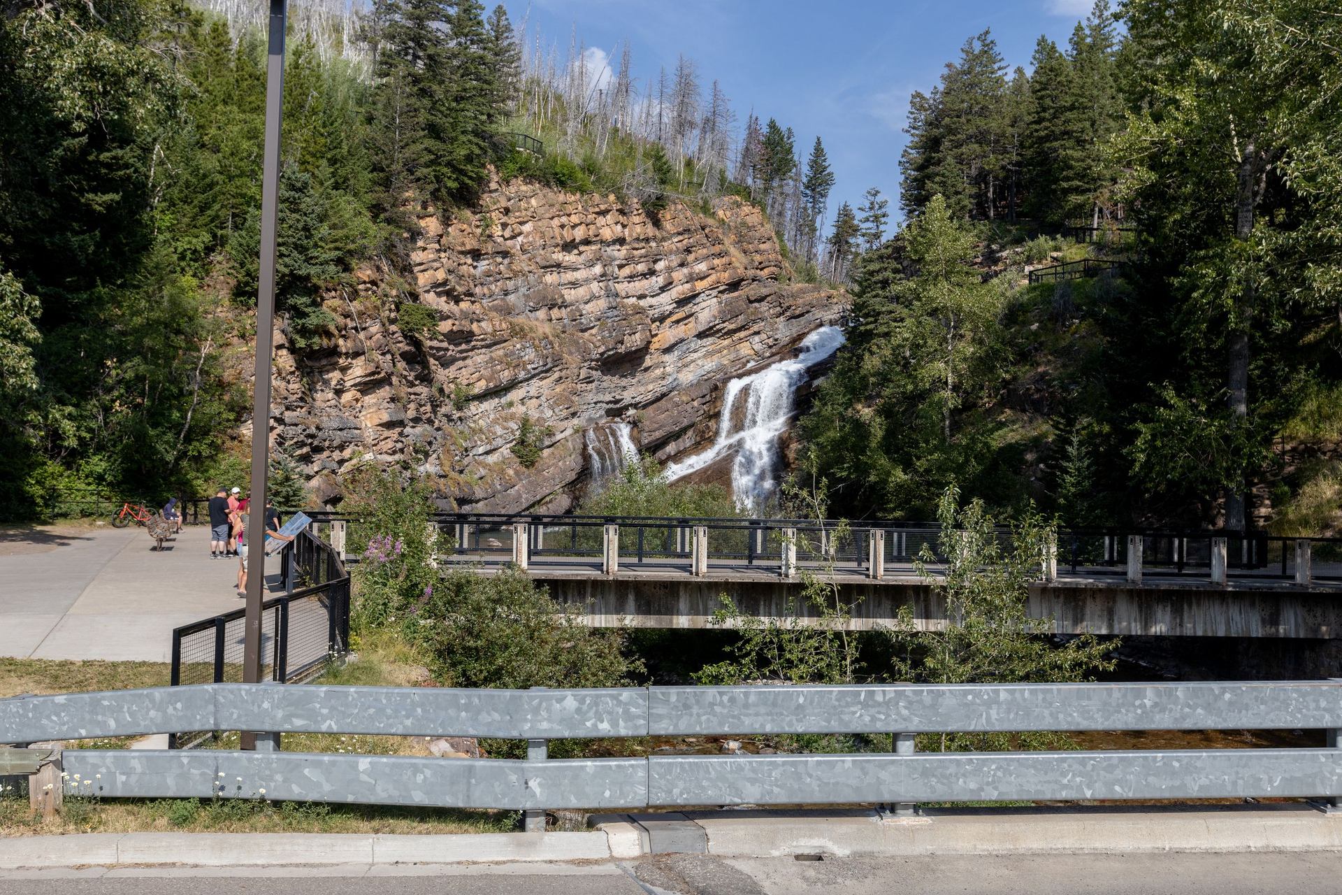
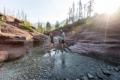
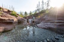
This must-see spot in Waterton Lakes National Park sits on the western edge of the townsite. To find it, follow Cameron Falls Drive until it curves into Evergreen Avenue. You can also follow a hiking trail from the townsite. The falls are a popular spot for selfies and family photos. A viewing bridge lets visitors get a good view of the flowing water and even feel the mist on their faces. The basin into which the falls plunge is a good spot for fishing. The falls flow over ancient Precambrian rock that shows off Waterton’s geological features, which are further explained on interpretive signs at the site. The falls are arguably even prettier in winter when snow and ice surround the falls. It makes for a striking landscape that serves as a perfect background for photos.

Contact Information

Waterton, Canada

Google map

Southern Rockies

Map data © 2025 Google

Highlights
Families & Kids
Adventure Enthusiasts
A man takes a photo of Cameron Falls.
Cameron Falls features a two-tiered waterfall, with water cascading over rugged rock formations.
Viewing points at Cameron Falls.
The falls are best viewed from a lookout point with nearby interpretive signs providing information about the area.
The entrance to Cameron Falls.
Cameron Falls is easily accessible via a short walking trail.
Couple crossing the stream at Red Rock Canyon.Scenic shot of woman and a dog sitting on rocks /hiking and taking a picture of the water and mountains in the distance
Discover more in Southern Rockies See related stories Read all stories