Notice: Alberta is hosting the G7 Leaders' Summit in Kananaskis June 15-17

Some areas in Kananaskis are temporarily closed during the G7 Summit and surrounding dates. However, the majority of Kananaskis Country as well as the Town of Canmore are open to visitors. For a map of the closed areas, visit the RCMP website or the Alberta Parks website. Learn more

Loading...

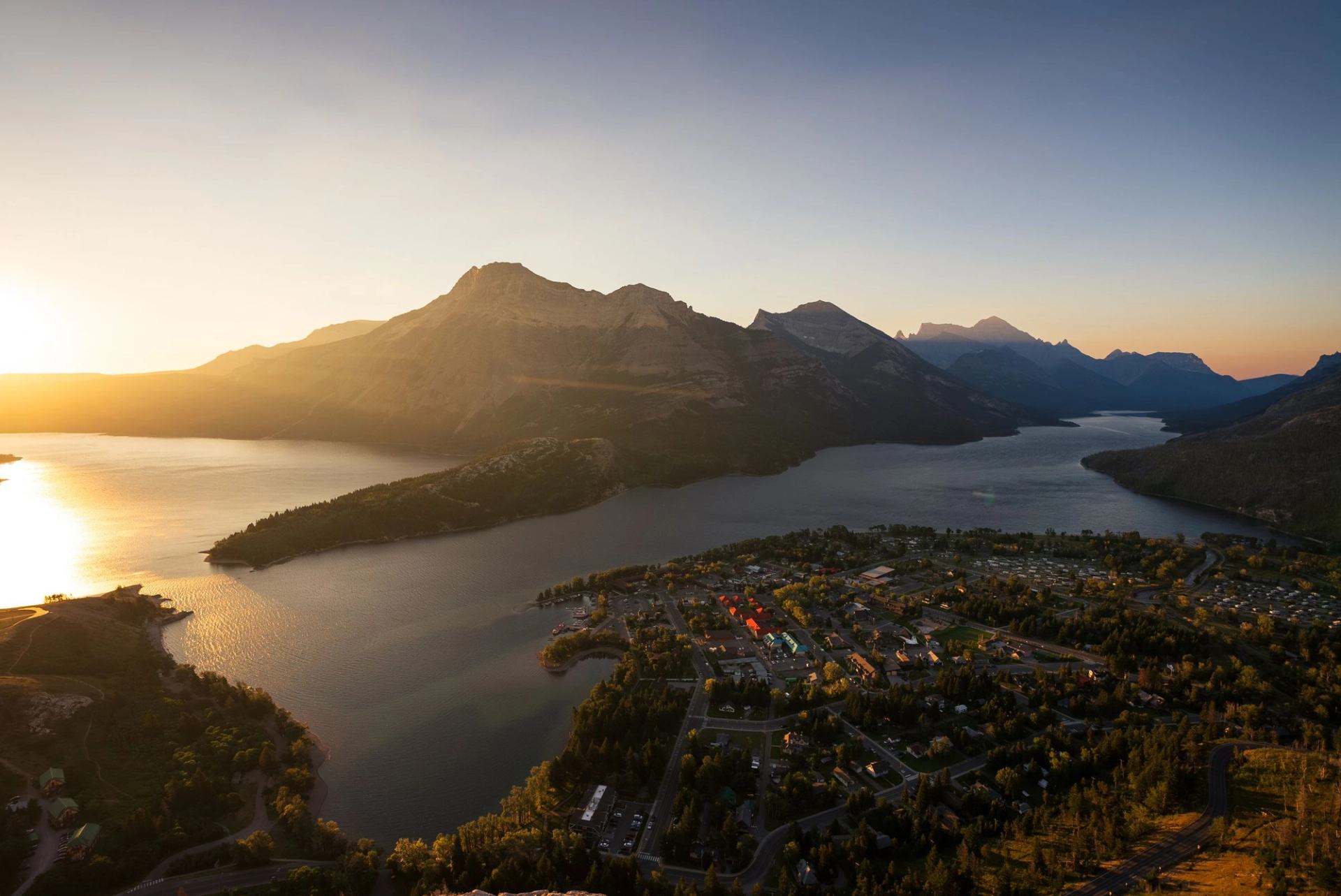
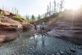
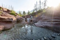
One of the most popular trails in Waterton, this short but steep hike offers spectacular views of the Waterton Valley. At 1.4 km (one way), it takes most visitors 30-45 minutes to reach the top. This short but very steep trail takes you to a bluff on the side of Mount Crandell, known to the Blackfoot as Bear Mountain.

Follow on social

Contact Information

Waterton, Canada

Google map

Southern Rockies

Map data © 2025 Google

On top of Bear's Hump with the sunrise in the background.
Town of Waterton at sunrise from Bears Hump.
Couple crossing the stream at Red Rock Canyon.Scenic shot of woman and a dog sitting on rocks /hiking and taking a picture of the water and mountains in the distance
Discover more in Southern Rockies See related stories Read all stories